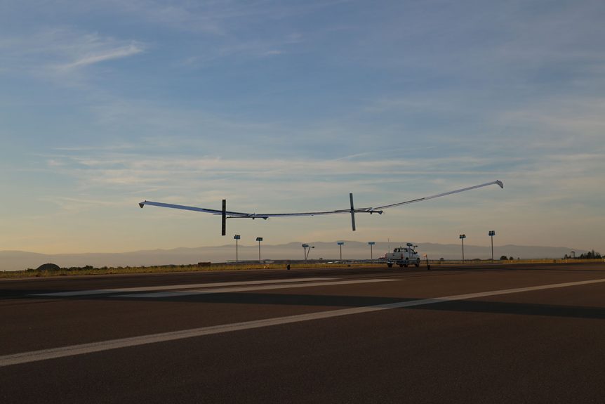
Ordnance Survey Established in 2014 by Ordnance Survey and private investors to develop and commercialize the UK’s first commercial sub-orbital Earth Observation High-Altitude Pseudo Satellites (HAPS), Astigan is both the aircraft company and product of that partnership with OS. Ordnance Survey produces maps for private, government and business users, including pre-printed print maps and custom charts downloadable to PCs or mobile devices. These can be as elaborate as items containing “fly-throughs” of requested routes for hiking, biking, driving or even flying trips. 3D modeling enables users to visualize the terrain and essential elements before committing to a flight. Astigan HALE To enable accurate mapping and application development, the team has created a 38-meter (124.7 feet) wingspan, twin-motor high-altitude, very light machine that will not only chart the landscape, but provide data for environmental, analysis of changes in the geospatial landscape, monitor agricultural factors such as soil erosion or crop yield, provide a communication link in remote areas and in disaster …
Tag Archive
Below you'll find a list of all posts that have been tagged as “Mike Carr”

